


This walk can be accessed at a number of locations in and around Anglesea. It is possible for families to complete short loops of the track of 3-5 km, walk 12 km loops that follow half the track, or for the really fit, complete the whole 22 km in the one day. The full walk starts and finishes near the Anglesea Information Centre by the Anglesea River.
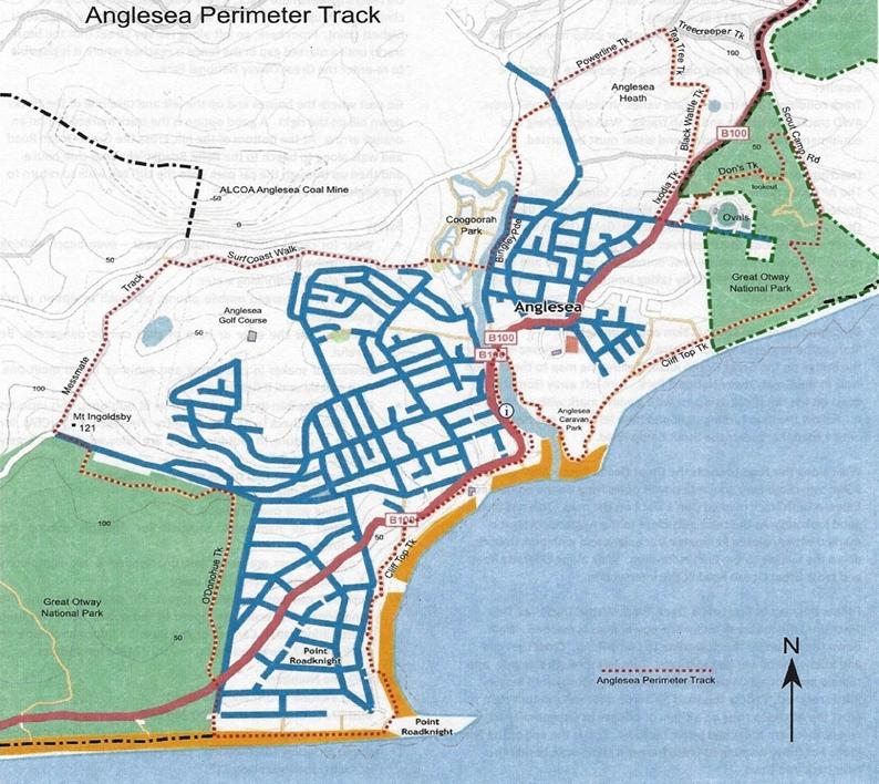
The perimeter walk was established in 2010. It links with the Surf Coast Walk established in 2012.
The walk is on very varied tracks, some gravel paths, some closed four-wheel drive roads, and some narrow, single file bush tracks.
Minor route changes have occurred in the last decade due to cliff erosion and the closing of the Alcoa Anglesea mine and power station.
The track itself is not challenging, generally rated as easy/medium depending on distance walked, and there are signs all along the way.
![]()
It ranges in height from sea level to 126 metres at the euphemistically named Mount Ingoldsby.
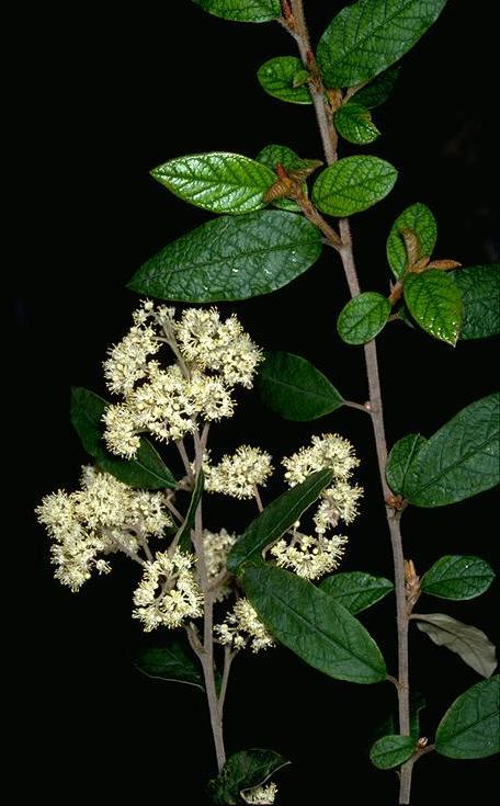
The Anglesea Perimeter Walk is through some very sensitive vegetation so walkers are requested to remain on track.

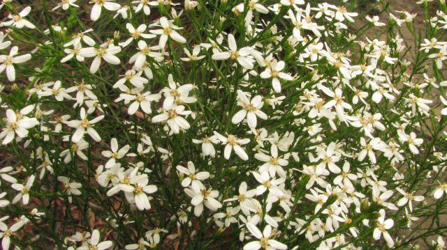
Cypress Daisy-bush (Photo by Ellinor Campbell)
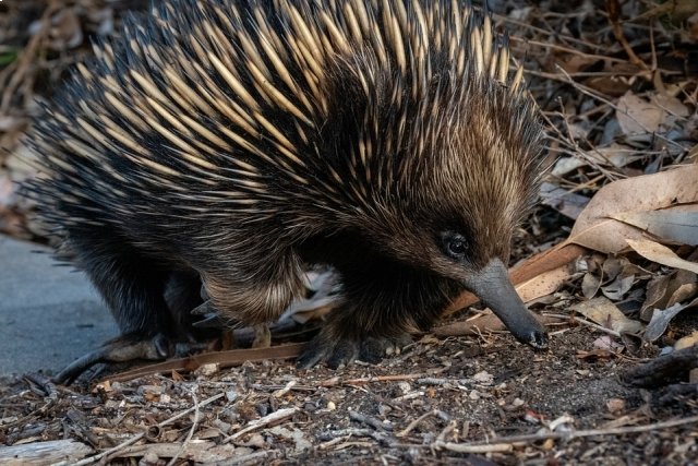
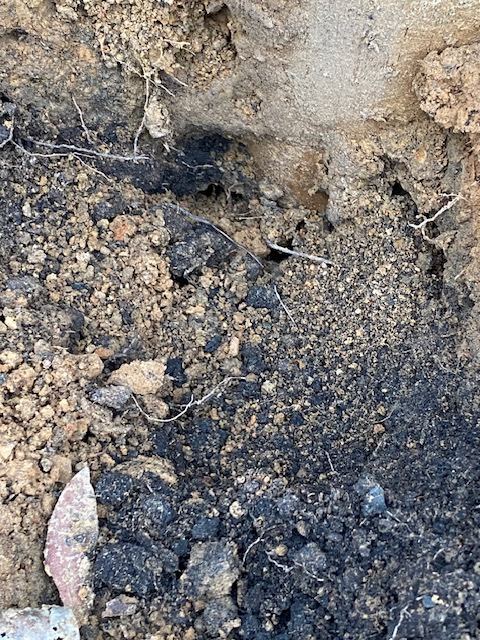
Echidna diggings (Photo by Rod Brooks)
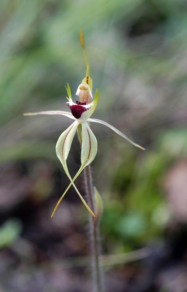
Small Spider Orchid (Photo by Margaret MacDonald)
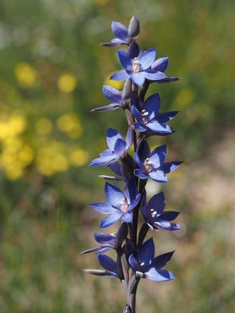
Great Sun Orchid (Photo by Margaret MacDonald)
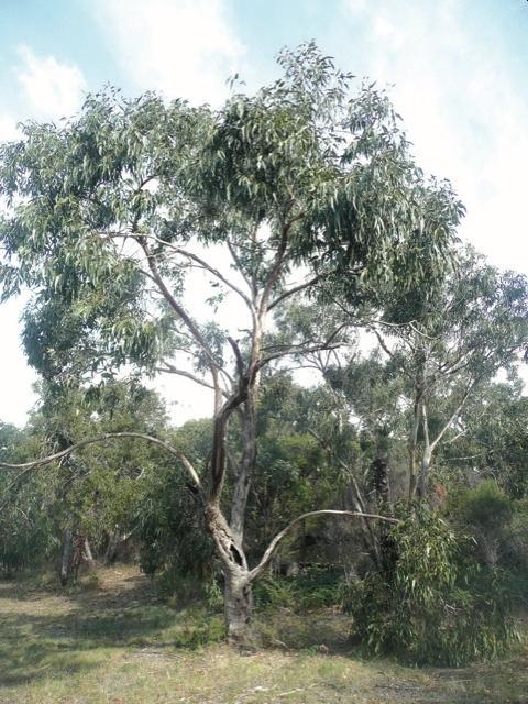
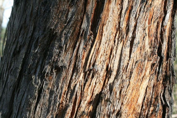
Messmate (Photo by Arthur Chapman, CC BY)
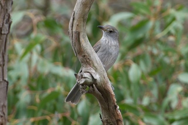
Grey Shrike-thrush (Photo by Margaret Lacey)
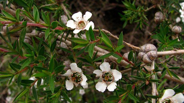
Prickly Teatree (Photo by Ellinor Campbell)
More detailed track notes are available here from the Angair website and you can read about the history of the walk on this NewsAngle article.