


Drive west on the Great Ocean Road and cross the Erskine River bridge at Lorne. Take the first turn right into Otway Street, which becomes Allenvale Road. Continue until you reach the roundabout 1 km from the bridge. Veer right and then turn left following the Allenvale Road sign. Continue along this road until you reach the Sheoak Picnic Ground 3.5 km from the roundabout. There are toilets, an information board, picnic tables and gas barbecues.

Follow the ‘Sheoak Falls Walk’ sign near the information board in the Sheoak Picnic Ground. Walk through to the secondary car park. Behind the BBQ shelter you’ll see signs to the walk and Swallow Cave. This very pleasant track follows the creek through regrowth forest and woodland.
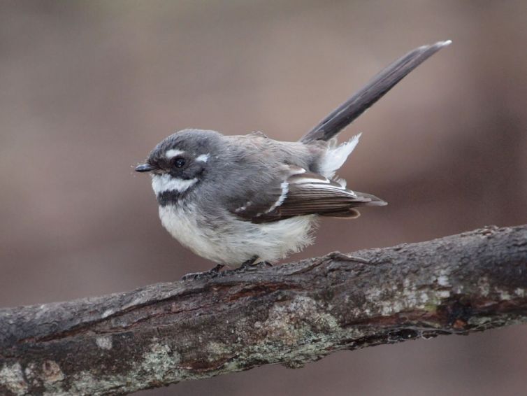
The valley is usually alive with the call of birds. Listen for the twitter of the Grey Fantail and watch for its insect-hunting antics. There are four bridge crossings where you can enjoy fine views of mossy rocks and fern-lined creek banks. After 2.5 km take the short track off to Swallow Cave and the Sheoak Cascades. Retrace your steps to the main track and cross the creek using the stepping-stones if it is safe to do so. Otherwise return to the car park via the same route.
Having crossed the creek follow the track uphill and then to the left down a series of wooden steps to the viewing platform for the Sheoak Falls (0.4 km). From here you return to the ‘Castle Rock’ sign and climb up the steep track for another 2.5 km where you will join what was perhaps an old logging track. There is a seat where you can catch your breath.
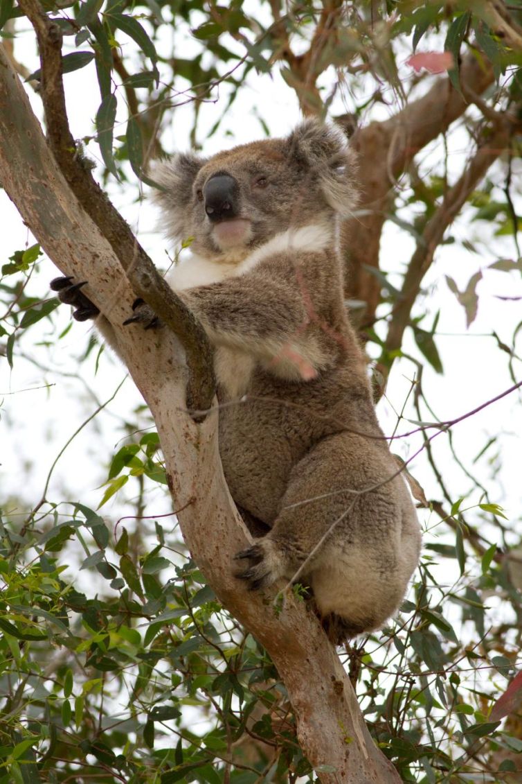
The walk out to Castle Rock is challenging (1.5 km return). It is a rough, steep track with a number of steps leading down to the lookout offering panoramic views over the Cumberland River mouth to the Southern Ocean. Follow the walking track signs back to the picnic ground. The walk back is generally easy, but there is a steep downhill section towards the end of the track. You may see Koalas in the trees.

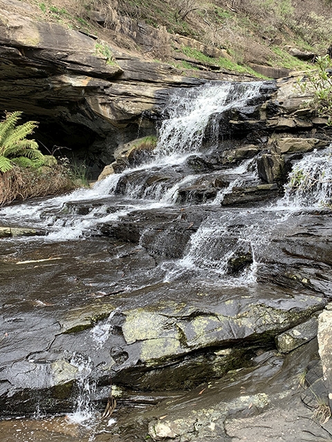
Cascades (Photo by Margaret MacDonald)
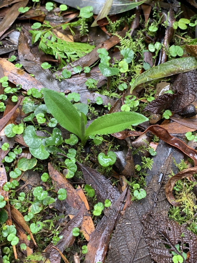
Greenhood (Photo by Margaret MacDonald)
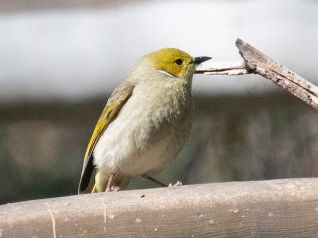
White-plumed Honeyeater (Photo by Margaret Lacey)
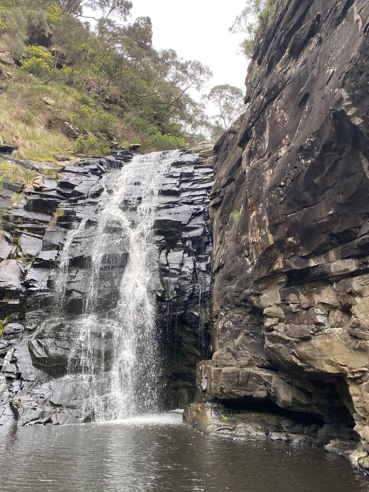
Sheoak Falls (Photo by Rod Brooks)
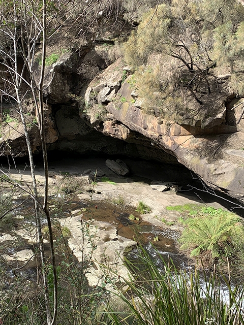
Swallow Cave (Photo by Margaret MacDonald)
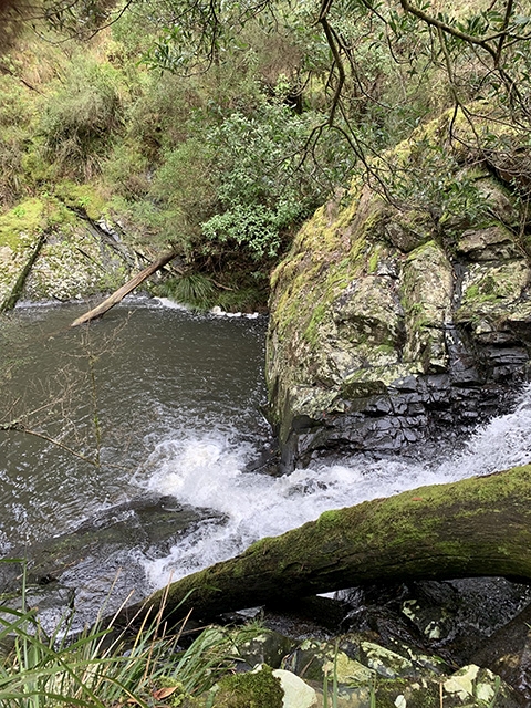
Sheoak Creek (Photo by Alison Watson)
Grey Fantail (Photo by Duncan McCaskill, CC BY)
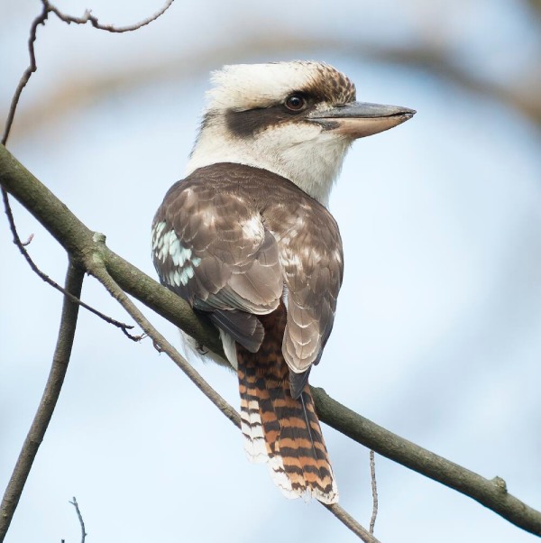
Kookaburra (Photo by David Paul, CC BY)