


Turn off the Great Ocean Road at Bambra Road, just east of the bottom shops in Aireys Inlet. Follow the bitumen road alongside the Painkalac Creek Valley for 2.5 km and then turn left at junction of Bambra Road and Distillery Creek Road. The lower car park and picnic area is on the right-hand side and the upper car park and picnic area on the left-hand side has an information board and toilets. Both have picnic tables and wood-fired barbecues (supply your own wood).

Begin at the Distillery Creek upper picnic ground on the track near the toilet block. There is a sign directing you to Moggs Creek Picnic Ground. The forest track takes you through a variety of eucalypts with private farmland on your left. The blackened trunks are a reminder of bushfires that swept through the area in 1983 and later fuel reduction burns.
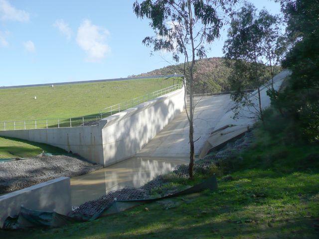
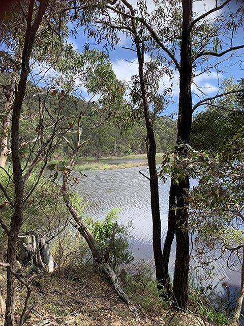
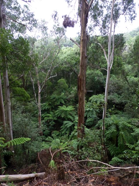
After about 1 km turn left onto an unsealed access 4WD road to Painkalac Dam. The road passes through a variety of wattles and eucalypts. There are some fine views of the tree clad hills of the Otways. After 3 km you reach the Dam, Aireys Inlet’s former water supply. Turn left and walk along the track across a bridge below the spillway and under the dam wall. Climb to the other end of the dam wall for views of Painkalac Dam and surrounding tree covered slopes. There are picnic tables and a Barwon Water information board about the reservoir.
Follow the steep unsigned gravel track uphill. After approximately 200 m there is a Barwon Water signed track to the right. If you follow this track, you will get lovely views of the water and birdlife on it. There is a picnic table at the end of the track but this will add approximately 2 km to your walk.
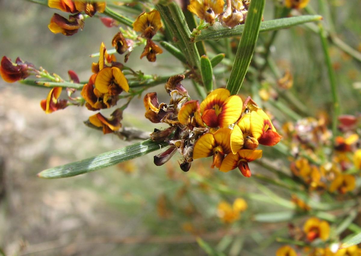
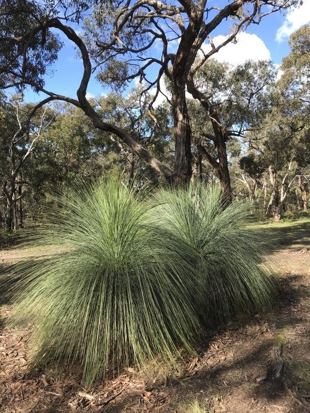
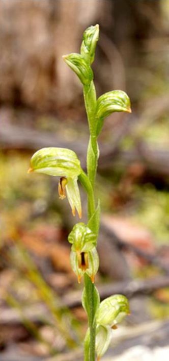
The track to Moggs Creek continues uphill with views of the Dam and the Otways. The trees are more sparse here with stands of Narrow-leaf Bitter-pea, grass-trees and many wattles and orchids.
Eventually you come to Gentle Annie Track (not signposted). Cross and follow the trail downhill. Follow the walking trail to the right – not the bike trail. On reaching the Moggs Creek Circuit Track, take the left branch through ferns, across the creek and continue through cool forest to Moggs Creek Picnic Ground.


Dam wall (Photo by Margaret MacDonald)
Prickly Moses (Photo by DavidFrancis34, CC BY)
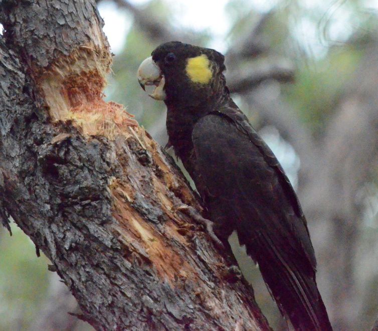
Yellow-tailed Cockatoo (Photo by Rob Shepherd)
Dam view (Photo by Margaret MacDonald)
Tall Greenhood (Photo by Margaret MacDonald)
._(24905630431).jpg)
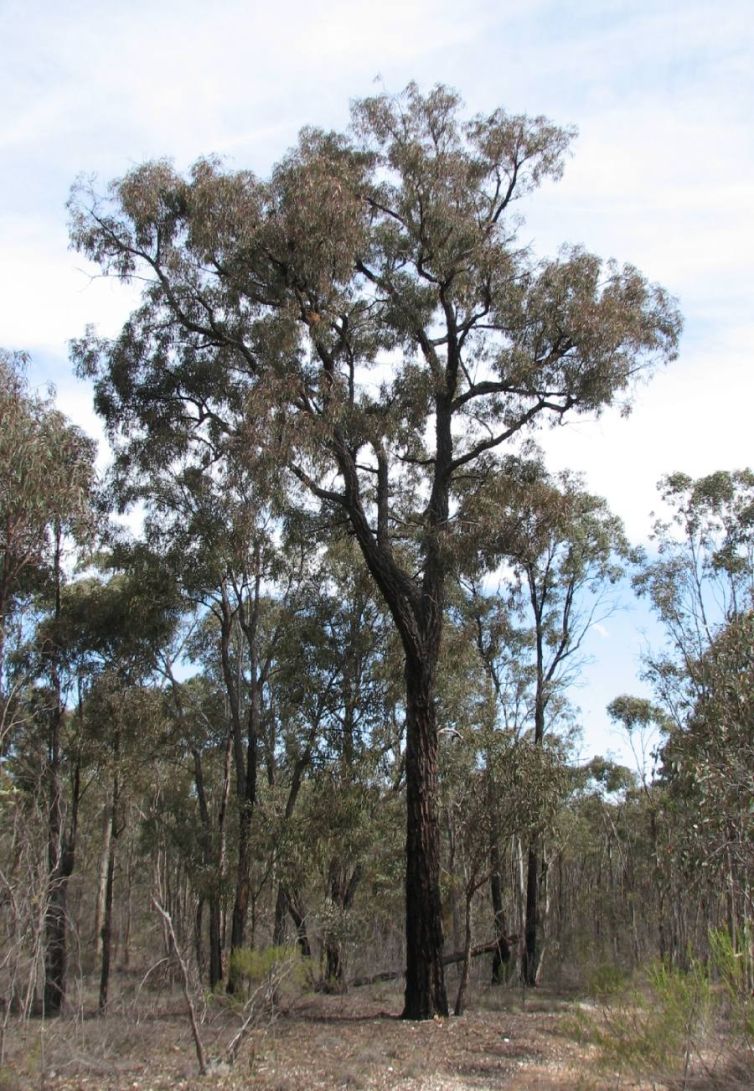
Ironbark (tree) (Photo by Melburnian, GNU)
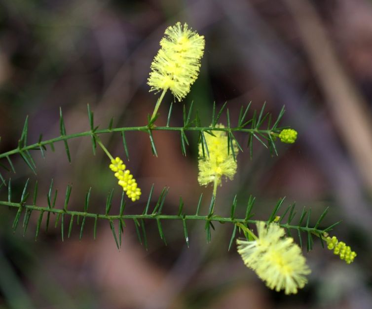
Varnish Wattle (Photo by Ellinor Campbell)
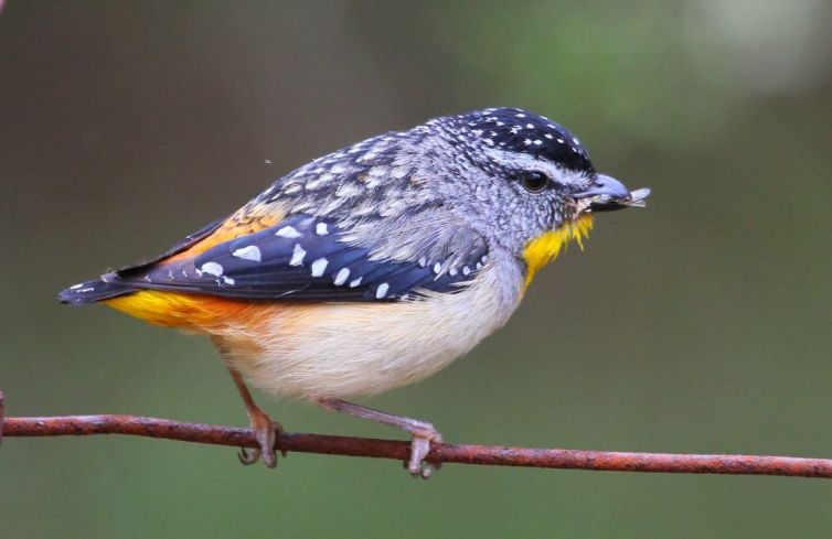
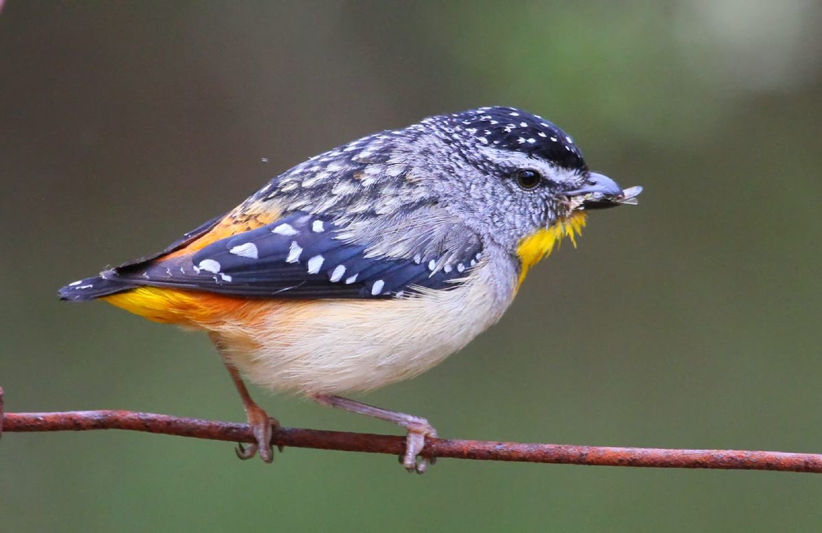
Spotted Pardalote (Photo by Alison Watson)
Narrow-leaf Bitter-pea (Photo by Melburnian GNU)
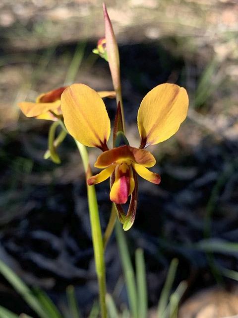
Donkey Orchid (Photo by Margaret MacDonald)