


From Anglesea take the Great Ocean Road towards Geelong for about 7.5 km. Turn right into Point Addis Road and travel about 500 m then turn left into Ironbark Basin (Kitjarra Ngiti) car park. There is an information board and a hygiene station to help control spread of Cinnamon Fungus.
Walk along the main track until you see the sign for the Nature Trail Circuit. This short walk consists of a short steep descent to the bottom of the valley, then a short steep climb to return to the car park. Take particular notice of the different vegetation and habitats as you walk along.
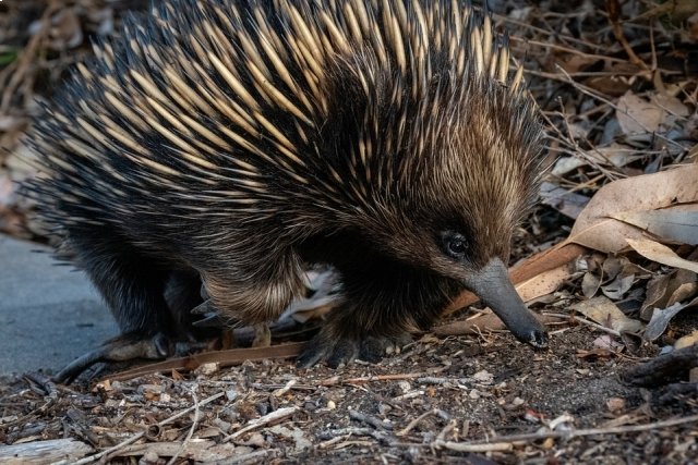
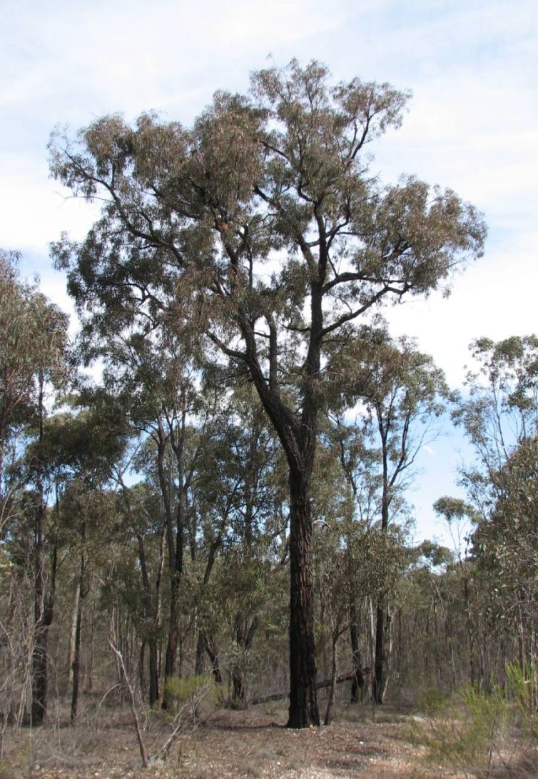
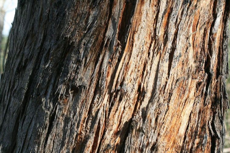
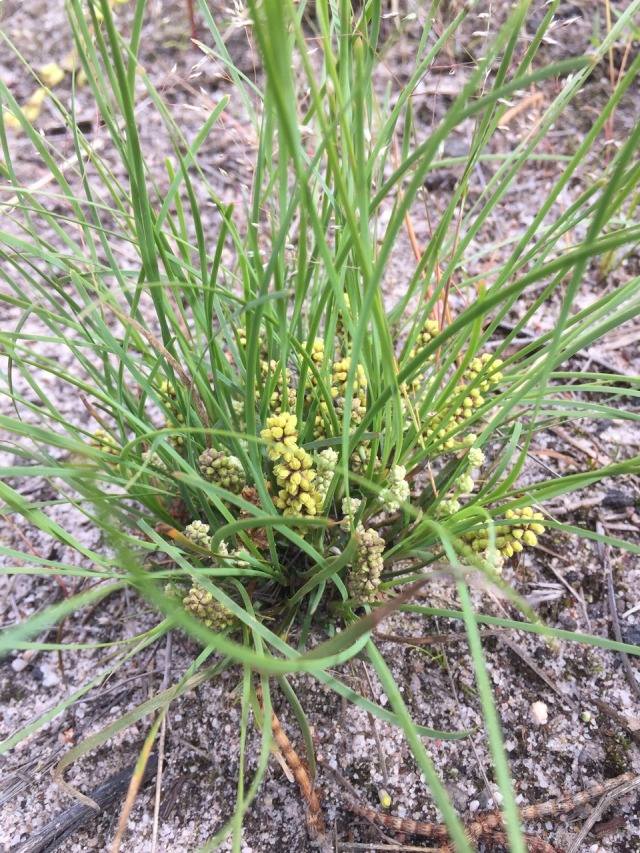
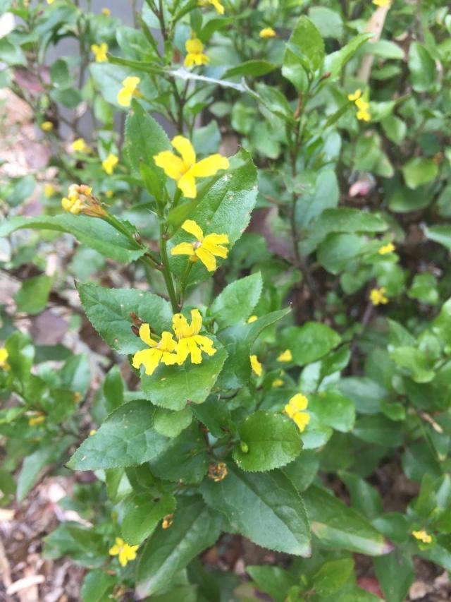
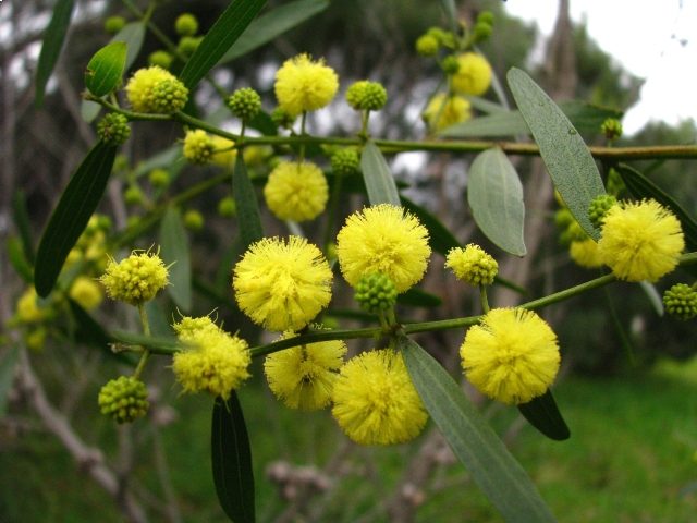
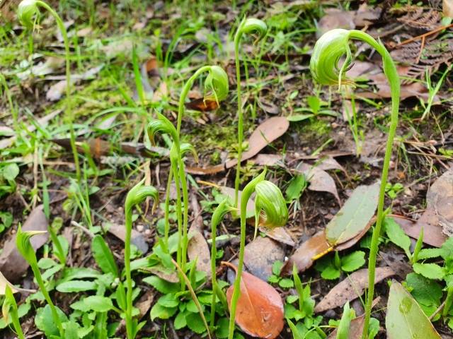
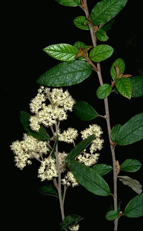
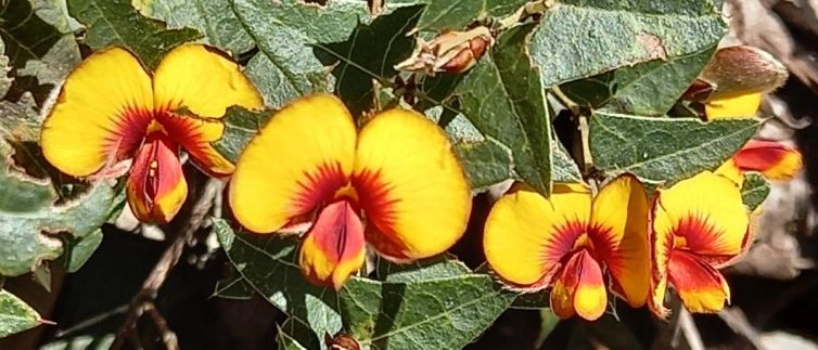
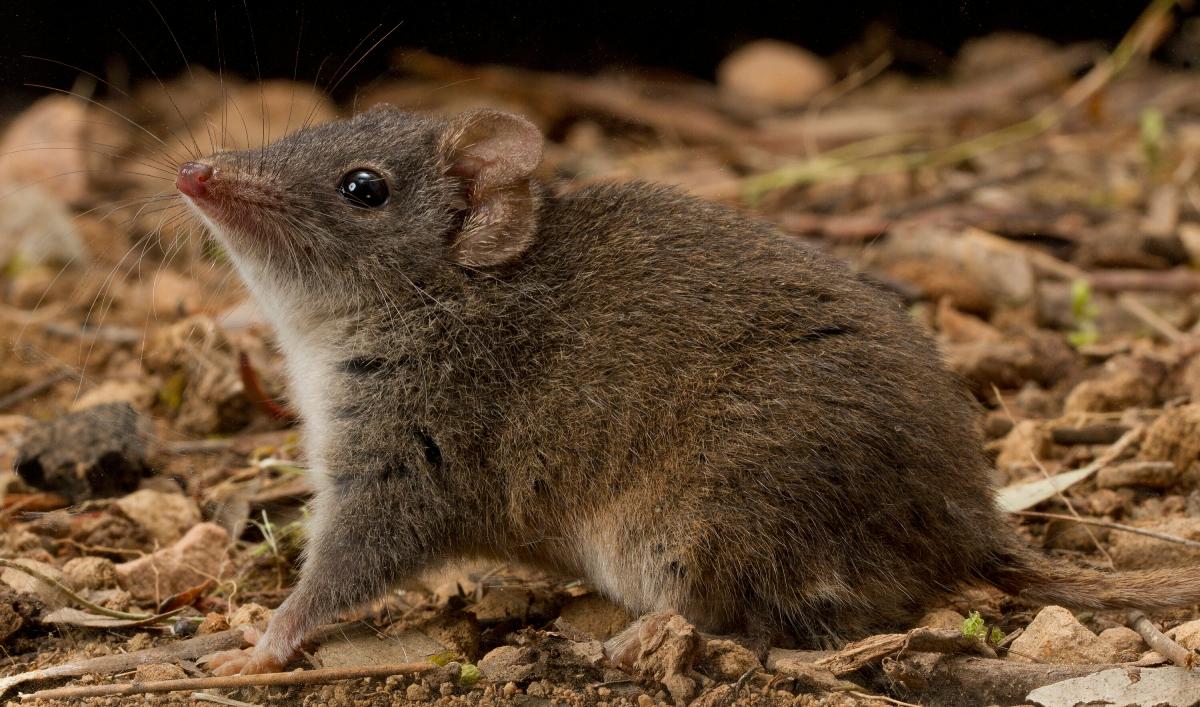
The vegetation along the track is shrubby dry forest dominated by regrowth Red Ironbark and Messmate Stringybark. Dense stands of pomaderris can be seen flowering in spring. The undergrowth is diverse with native species including mat-rush, bracken, Common Flat-pea and various goodenia and wattle species. Nodding Greenhoods can sometimes be seen. Keep an eye open for small scurrying ground mammals such as the native antechinus and also echidna diggings.
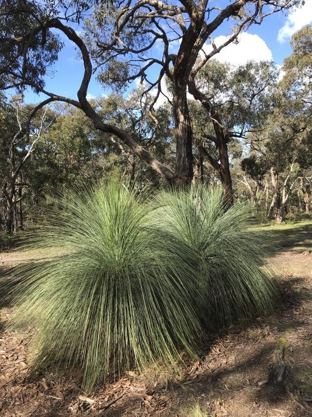
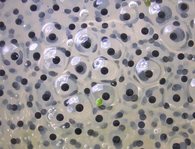
About halfway down the slope there is a large stand of Austral Grasstrees, some young, some very old. Follow the Nature Trail Loop sign and turn left at the track junction at the bottom of the valley. Look for the small dam to the left of the track. When the dam is wet look for frog spawn amongst the reeds but be careful not to trample the frog habitat.
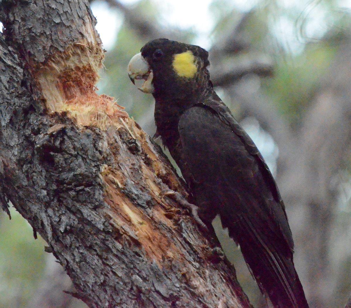
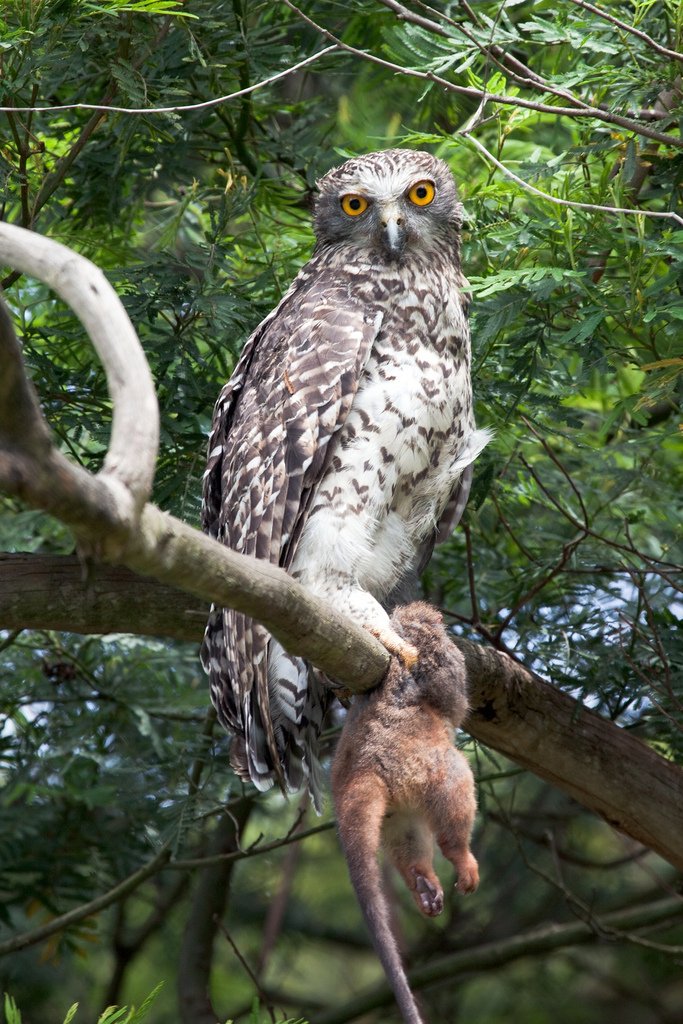
Take time to stop and listen for birds and look for hollows in the ironbarks. The hollows are used by a variety of fauna including small birds, possums, and gliders. You may be lucky enough to sight a Powerful Owl. You will notice that the valley and lower slopes lack the dense undergrowth and shrub layer – a sign of more recent fires compared to the vegetation along the descent track.
At the start of the ascent Parks Victoria has provided a bench to have a rest before walking up the hill. Make sure you take another look down the valley as you near the top to see the track winding back through the trees.


Ironbark (tree) (Photo by Melburnian, GNU)
Colony of Nodding Greenhoods (Photo by Margaret MacDonald)
Powerful Owl with kill (Photo by Moonlight0551, CC BY)
Common Flat-pea (Photo by Neil Tucker)
Frog spawn (Photo by Tarquin CC BY)
Video by @murmecofourmis Ants and other insects