From Anglesea, cross Anglesea River and turn right into Noble Street. Drive to end of road and turn in to Harvey Street that becomes Mt Ingoldsby Road (gravel road). Drive 3.2 km and then turn right into No 2 Road. This becomes Bald Hills Road. Drive another 3.6 km and then turn right into Alcoa Boundary Track. Drive 300 m and park near Bundjil Mirr Lookout.
From Aireys Inlet, take Bambra Road that runs into Distillery Creek Road after 2.4 km. Continue on Distillery Creek Road (gravel road) for 5 km and then turn right into No 2 Road. This becomes Bald Hills Road. Drive 3.4 km and then turn right into Alcoa Boundary Track. Drive 300 m and park near the Bundjil Mirr Lookout.
The diversity of wildflowers in spring is magnificent, but the variety of vegetation and views across Bald Hills, makes it a good walk at any time of the year. This round trip takes you through open heathland and then swampy woodland as it crosses the Salt Creek catchment, returning to the start on a well-defined undulating track. It is a peaceful hinterland home to over 100 bird species. As there is Cinnamon Fungus, (Dieback), in the area, clean your footwear at the hygiene station located here, before and after your walk.
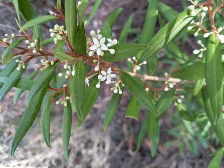
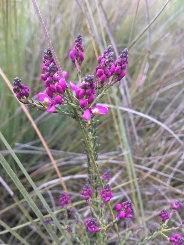
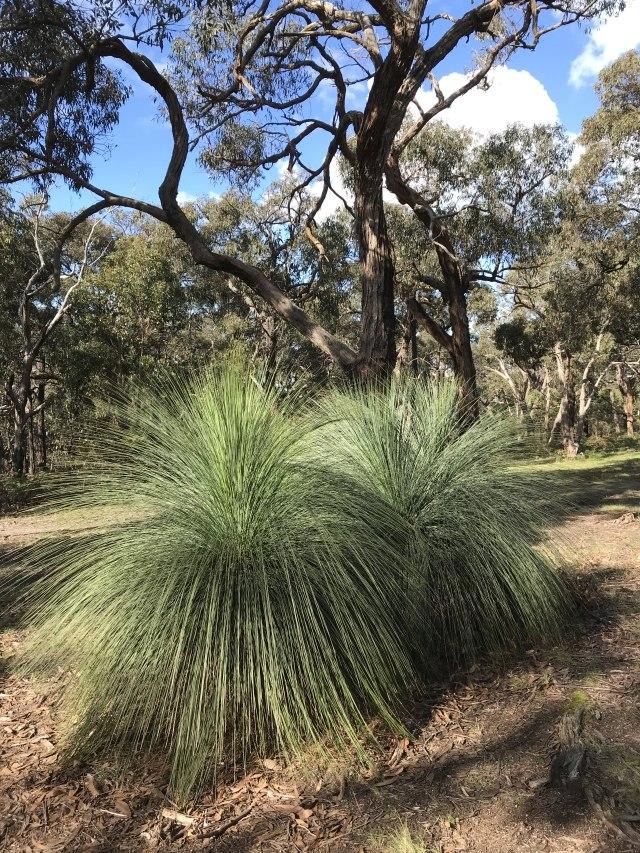
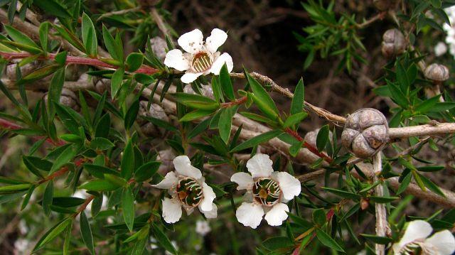
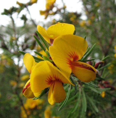
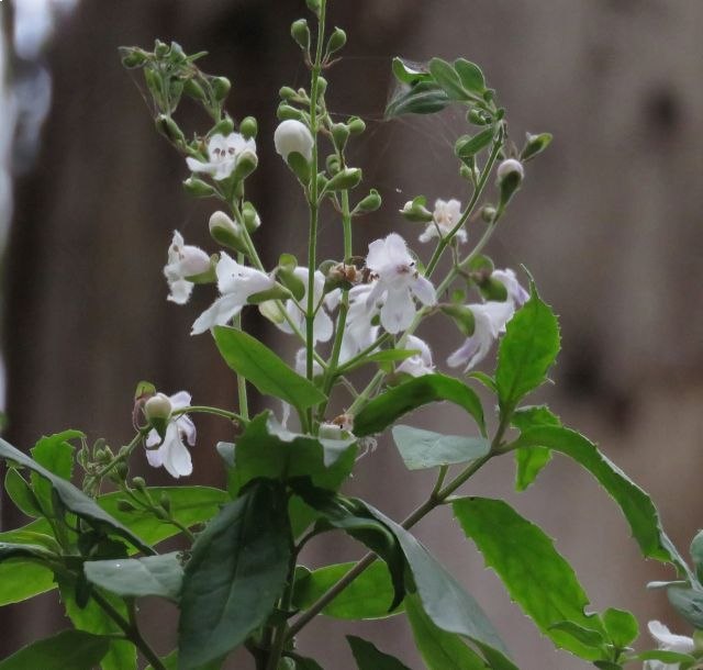
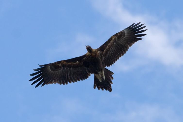
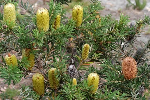
The walk begins at the Bundjil Mirr Lookout where there are sweeping views across the rehabilitation of the former Alcoa coalmine and perhaps a Wedge-tailed Eagle (Bundjil) soaring overhead. Observe the diverse heathland plants such as the variety of peas, smoke-bush, beautiful Heath Milkwort, Western Peppermint, and some species of orchids as you walk down the hill and across Bald Hills Road. Turn left onto the track which follows ridges amongst grass-trees and banksias before dipping into damper gullies with Scented Paperbark. Enjoy the extensive views of Bald Hills and glimpses of Anglesea and the old coal mine.
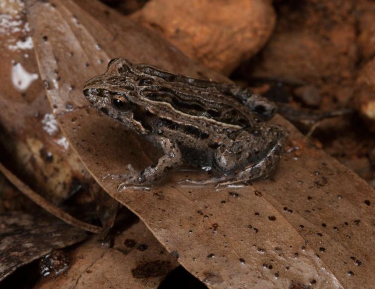
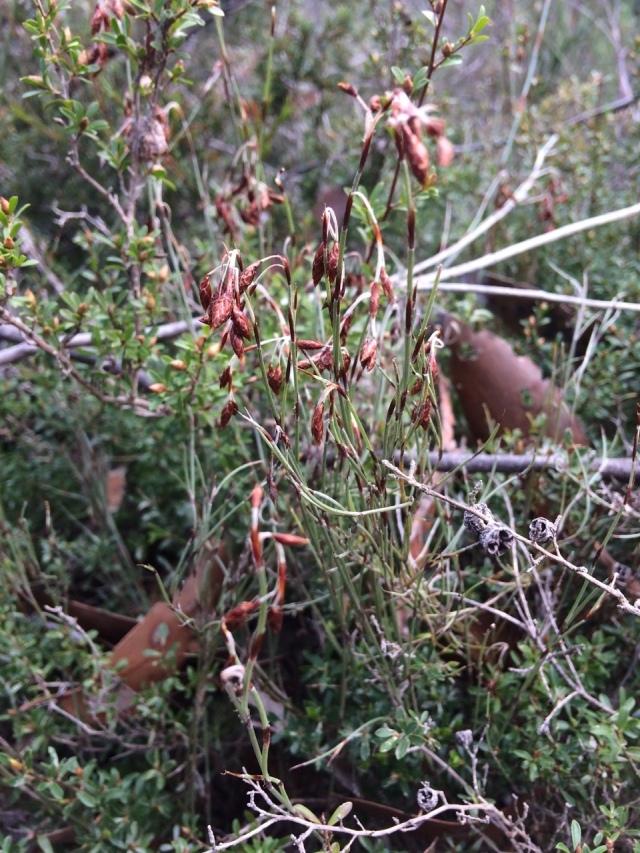
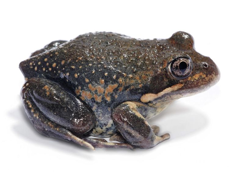
The undulating track becomes sandy and drops to an area of taller eucalypts, tea-tree and Tassel Rope-rush. Watch out for the distinctive foliage of the rare Satinwood beside the track, possibly introduced by work equipment. Continue to stay on the loop track, passing a track to the left which leads to Bald Hills Road (an alternative access point). The path can be wet as it crosses Salt Creek. Frog calls are a feature here.
The track gently rises to heathland and is undulating as it crosses several small water courses. Continue along an old vehicle track as it climbs steadily back to the start of the walk. When you reach the road, an alternative return is turning left at Bald Hills Road and right at Alcoa Boundary Track to enjoy perhaps the best display of heathland flowers.
Yellow-tailed Cockatoo (Recording by Marc Anderson, CC BY); Common Eastern Froglet & Eastern Banjo Frog (Recordings by Ric Longmore in Australian National Botanic Gardens)
Filmed by Zoe Strapp for Angair with assistance from Surfcoast Events.
Filmed Walks
More details about this walk including a species checklist can be found on the Angair Nature Show website.
Video by Samantha Madell


